Long circular walk from Riggs to Cockermouth and back through very varied scenery.
This circular walk from the cottage takes you from Riggs to the north side of the Embleton Valley, up Elva Hill and across Setmurthy Common before descending close to Cockermouth. The return section crosses farmland and follows Bitter Beck before skirting Slate Fell and returning to the south side of Embleton Valley. The concluding section is via Green Lonning and Wythop Mill.
The outward leg leaves Riggs via the fields at the bottom of the lane before crossing to the northern side of the valley and climbing up the low ridge above Embleton. After a flatter stretch the path climbs again up to Elva Hill, a craggy knoll overlooking Setmurthy Common with excellent views all round including across the Solway Firth to Scotland. Elva Hill is said to be a 'fairy hill' with a secret gateway to the other world which only opens at certain times of the year. Nearby, there is also Neolithic Elva Plain Stone Circle, however it composed of low stones so it is not easy to spot and involves a side excursion through often locked farm gates.
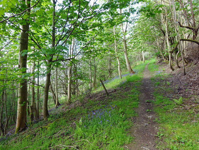
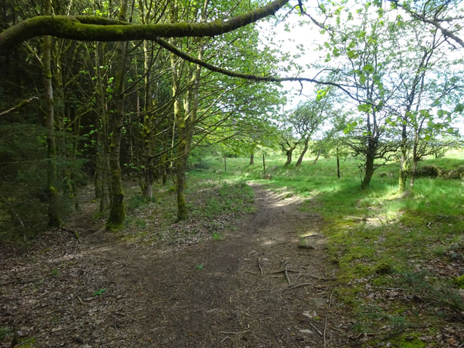
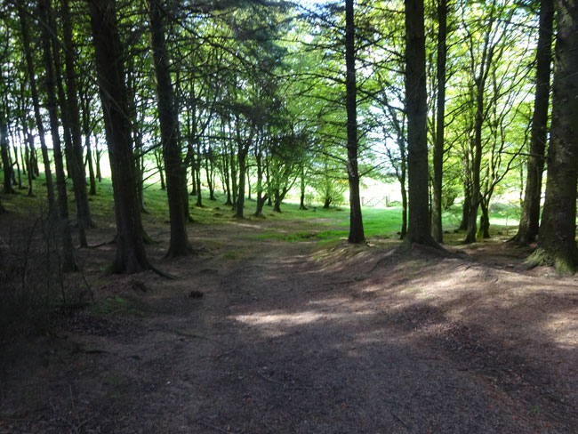
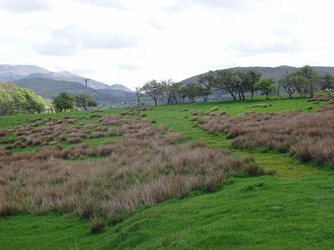
The walk continues across undulating meadows towards the woods of Setmurthy Common. The initial way through the woods is a little difficult with indistinct paths through tall dark fir trees but soon well defined forest tracks and paths are reached. The final section of the outward leg, part of the Allerdale Ramble long distance path, is a long shallow descent towards Cockermouth through fields of sheep (and lambs in the Spring).
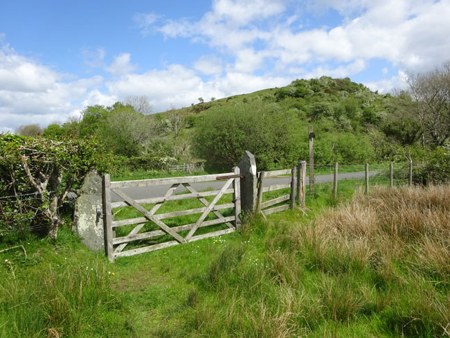
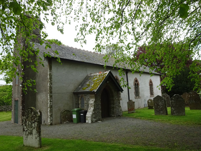
The return leg follows Bitter Beck through pleasant woodland before crossing farmland. It then emerges onto rough grasslands skirting round Slate Fell before turning south down farm tracks. There is a short section on a quiet road before reaching St Cuthberts Church built in 1806 on the site of a medieval chapel dating from 1210.
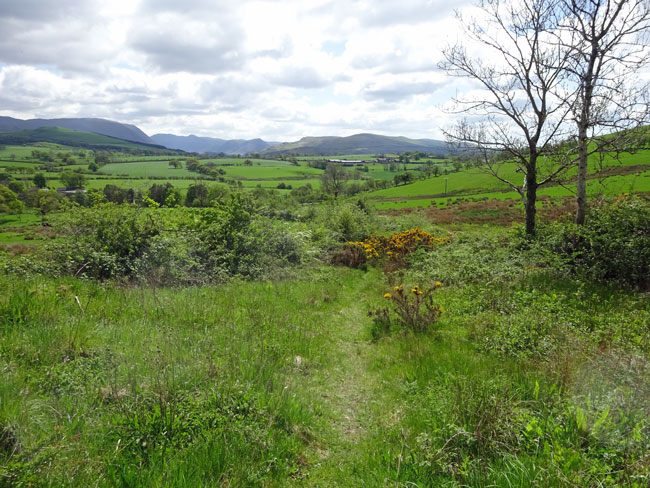
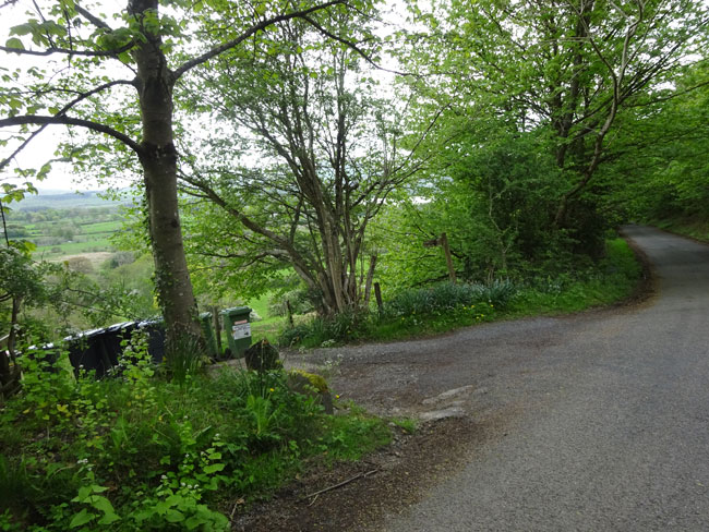
From St Cuthberts a narrow lane is followed past Beckhouse and joins Green Lonning on the lower slopes of Ling Fell. Lonnings are medieval tracks joining a farming area with a nearby village. Green Lonning from High Side farm to Wythop Mill gives good views of Ling Fell and the Embleton valley below. From Wythop Mill the final section follows a quiet road along the lower slopes of Sale Fell before joing the access track down to Riggs Cottage.
Note that this walk is mainly on paths or farm tracks but there are some short sections on roads. The roads are generally quiet but care must still be taken. Although there are many areas suitable for picnics on this walk there are no pubs or cafes on the route. Those looking for refreshments could walk into the pubs and cafes of Cockermouth from the halfway point of the route. This would add 1.6km to the walk (800m each way)
Total length of the walk is 17.3kms (10.7 miles). The total ascent and descent is 500m (1640ft) with a highest point of 234m (767ft). Riggs Cottage is at 100m (330ft). The walk, stopping to admire the views but excluding any stops or diversions should take around 5 hours at a reasonable pace.
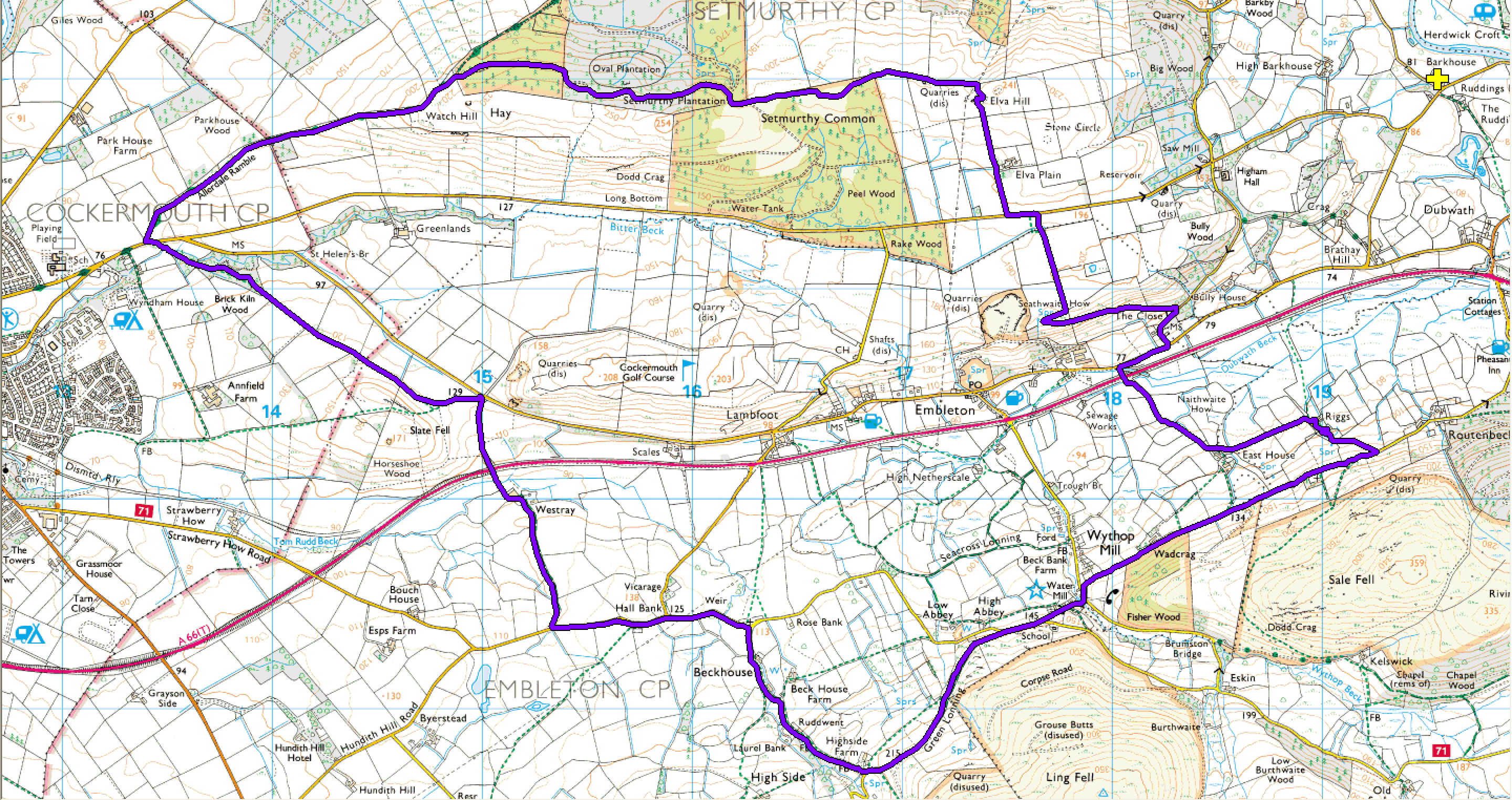
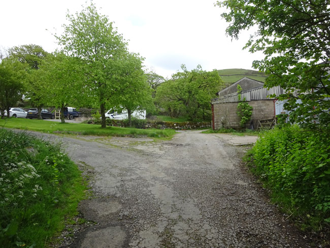
(1) From the cottage gate turn left down the track, past the games barn and continue down the earthen track to the property below (Riggs Farm). The track opens out to a turning area. There is a continuation of the track passing immediately to the left of the large metal barn and to the right of Riggs Farm.
(2) Very shortly the track splits left and right. Follow it to the left and past Riggs Farm on your left.
(3) Just after Riggs Farm you will see two gates ahead. Pass through the first gate.
(4) After passing through the first gate turn left through the gate into a field with a grassy track following the edge of the field. Continue along the track with the fence on your right.
(5) You will pass through a number of gates. Just keep following the well defined track ahead.
(6) Eventually you will reach and pass East House on your left. Shortly after the house the track splits. Follow it around to the right and continue down the lane ahead.
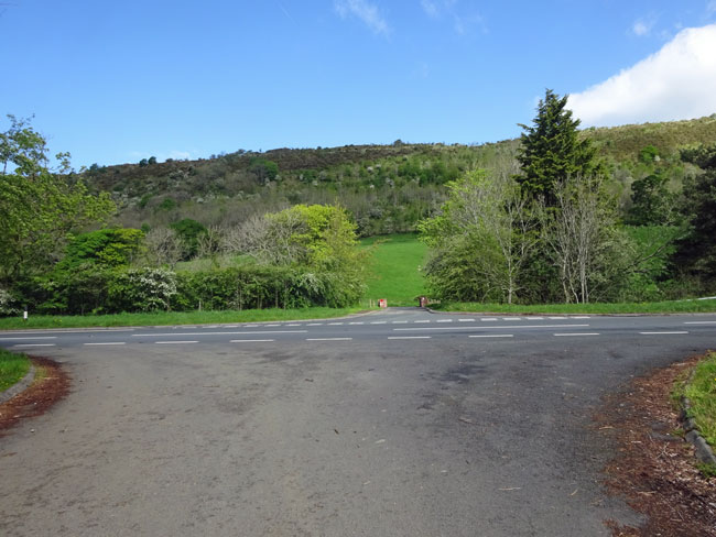
(7) After a few hundred metres you will reach the A66 (you will hear it before you see it). There is a small road immediately opposite the track you have been following. Taking care crossing the A66 and continue along this small road. It crosses Dubwath Beck and almost immediately there is a T Junction.
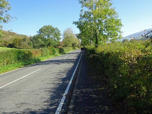
(8) Turn right at the T junction following the pavement on the right hand side of the road. This road is relatively quiet but vehicles can drive along here at speed. You only follow this road for a few hundred metres.
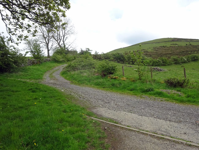
(9) Look for a small road to the left towards some properties. It is easy to miss. Walk up the road which bends to the right after the houses and then climbs gently uphill.
(10) This is a rarely used road as you can tell from its condition. As it climbs there are good views to the right of Sale Fell.
(11) If you look carefully you can see the three properties at Riggs and the concrete track leading down to them with Sale Fell above.
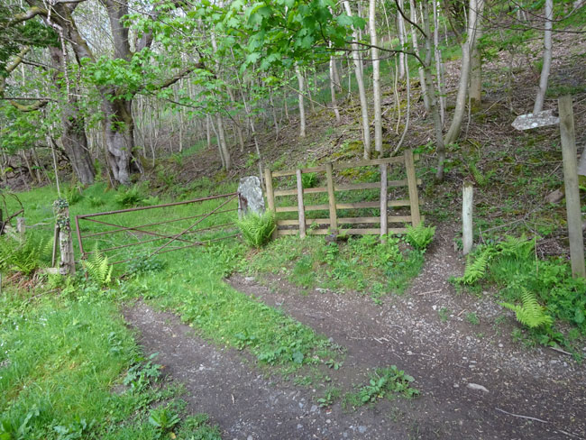
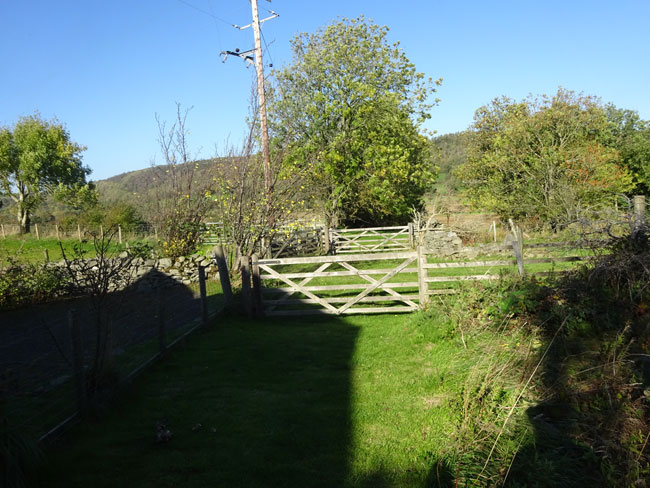
(12) After a short climb up the road there is a path leading off to the left through a metal gate. Note it is easier walking round the gate rather than trying to go through it!
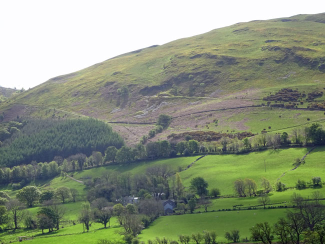
(13) The path starts climbing gently up the hillside through woodland. There are good views towards Sale Fell and Ling Fell through the trees to the left.
(14) Very soon the path emerges out of the woodland and Wythop Mill at the foot of Ling Fell can be seen below to the left.
(15) The path now emerges onto open hillside and bends 180 degrees around to the right avoiding a disused quarry ahead. Follow the fence line on the left for a few hundred metres with views of Bassenthwaite Lake emerging ahead. Climb over the stile to the left at the end of the fence and carry straight on from the stile up the hill with the fence on your right
(16) Looking half left ahead Watch Hill can be seen which we will be climbing later in the walk. For now continue straight on through the gate at the end of the field. Although the path is indistinct a further gate can be seen straight ahead. Head directly for this gate. It will take you out onto a small road. Turn left onto the road.
(17) After a few hundred metres a track will be seen to the the right signposted Elva Plain Farm. Turn right here and follow the track uphill.
(18) You will soon come to the farm buildings with a track to the right. Ignore this and continue straight on through the gate ahead. Keeping the fence line on your right head up the, at times indistinct, path towards the rocky crag you can see at the top of the hill.
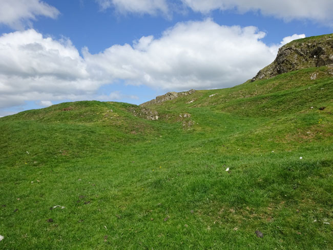
(19) After the gate at the top of the hill head up to the top of the crag (Elva Hill). Going round to the left a little, makes for an easier climb up the crag.
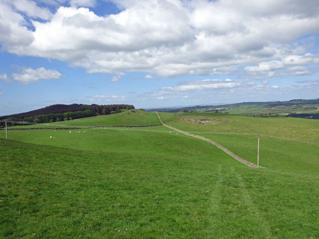
(20) There are excellent views from the top of Elva Hill both back in the direction you have come from (south) and to the north west towards Setmurthy Common with the Solway Firth and Scotland in the distance. From the top of Elva hill the route ahead can be seen following a fine stone wall heading west. Descend from Elva Hill towards the wall and a signpost next to it. If you miss the signpost don’t worry, just turn left when you reach the wall and follow it along.
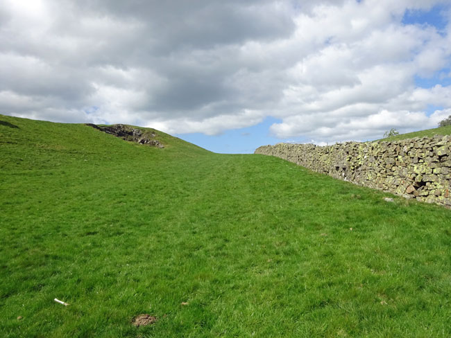
(21) Keep following the wall which rises gently towards the forest ahead. Although initially it may look like your path ahead is blocked by another wall you will find when you reach it that there are stone steps built into it to assist getting over. A further wall is crossed on easier wooden steps. The forest is now getting closer. Just keep following the wall.
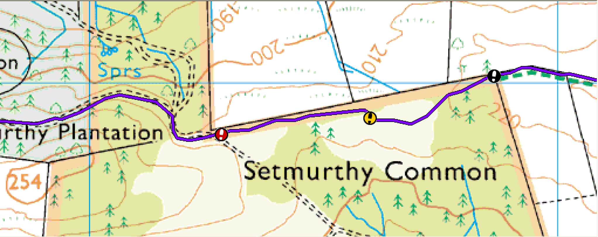
(22) As you reach the forest the wall ends and there is a stile into the forest (black marker on map). The path onwards follows the edge of the forest in the SAME DIRECTION as you were following the wall. The trick is to follow the path as best you can but ALWAYS keep the edge of the forest in sight and not far away (maybe between 20 and 60 metres).
(23) The path is sometimes very indistinct and sometimes obvious. However there are many small and larger paths diverging. ALWAYS take the path that seems to follow in a general direction parallel to the forest edge.
(24) After about 400 metres (orange marker on map) you will come to a track at right angles to the direction you are following. Turn right and follow this to the forest boundary. The path from here onwards is much easier to follow.
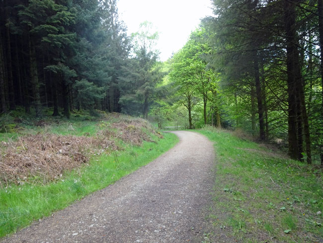
(25) After another 400 metres (red marker on map) the way ahead seems blocked but the path turns left up a bank and a wide forest track is reached. Turn right onto the track. This section is an easy stroll through the forest on a well made track.
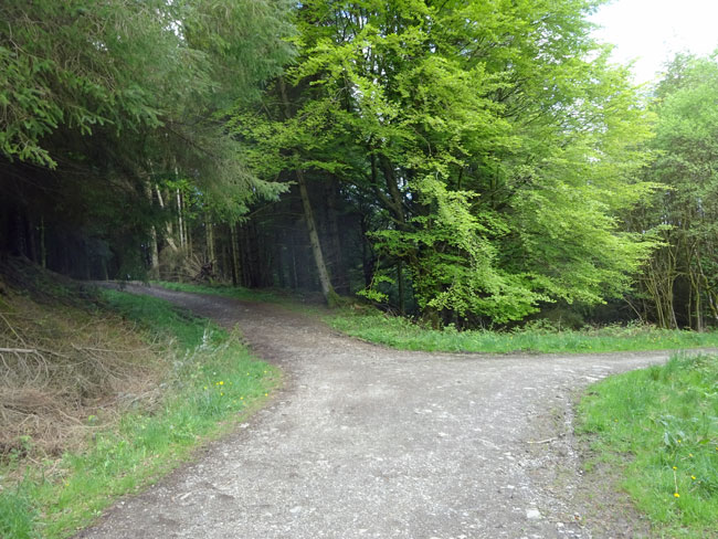
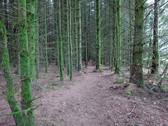
(26) After a few minutes you will come to a split in the track. Take the left hand fork.
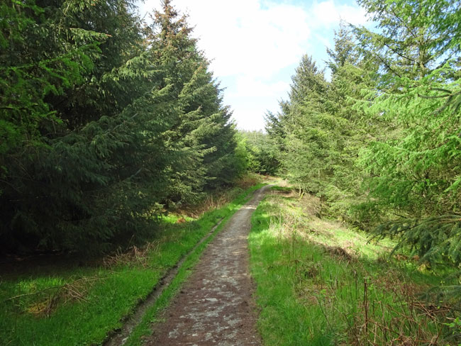
(27) The track gradually narrows and after about another ten minutes becomes a path through a new growth plantation. At a split in the path take the right hand fork (larger path). The path descends slowly and can be a little muddy after rain.
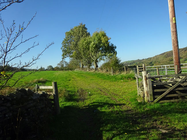
(28) Ten minutes further on, the edge of the forest is reached with a gate ahead and a path joining from the right just before the gate. This is a major cross country path (Allerdale Ramble) starting at Seathwaite in the Borrowdale Valley and finishing at Grune point on the Solway Firth and we will be joining it for a short section. Go through the gate and follow the sometimes indistinct path ahead keeping the stone wall fairly close on your right.
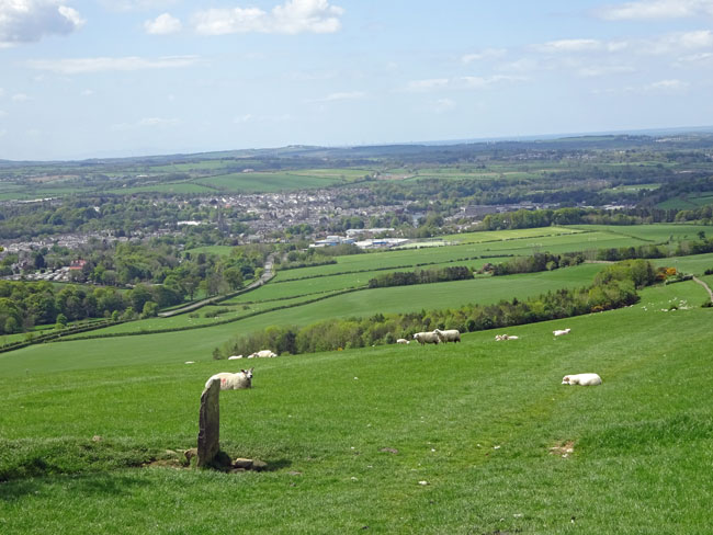
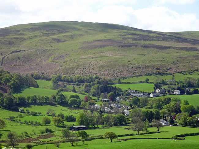
(29) The path continues through several fields, just keep following the wall. On reaching the brow ahead there are again, good views of the Solway Firth and Scotland. Cockermouth can also now be seen ahead.
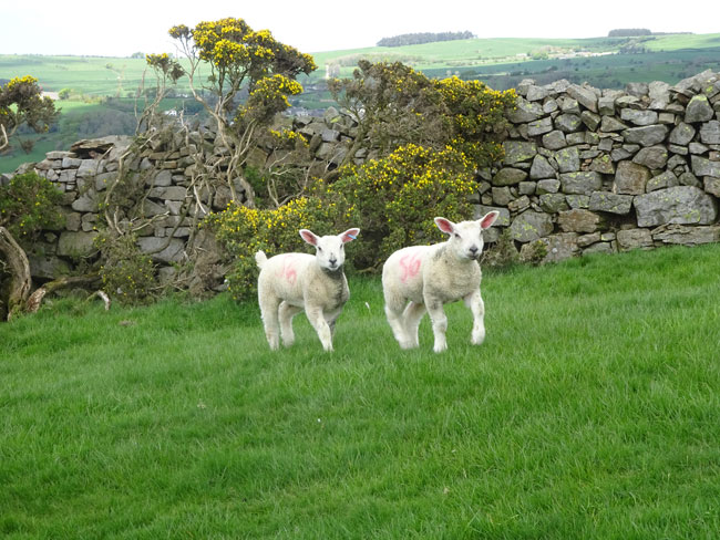
(30) There are many photo opportunities here of wildlife, especially in the Spring.
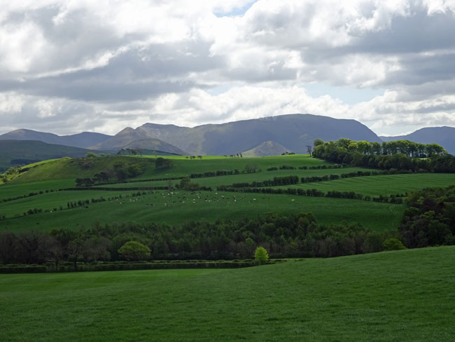
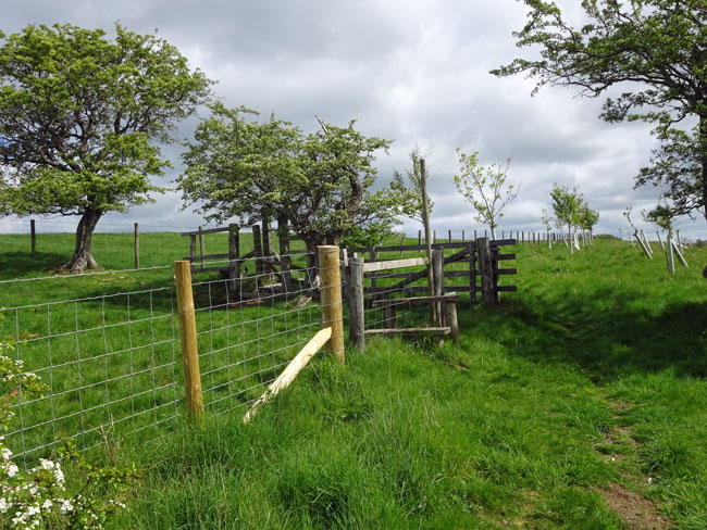
(31) There are good views towards the higher mountains to the left. Keep following the wall downhill and eventually after several gates you will come to a stile. Keep following the path ahead. After a while the path splits uphill and downhill. Keep following downhill.
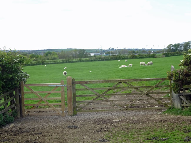
(32) Continue following the right hand field boundary down through fields of sheep until you reach this gate. After the gate the path curves round to the left and heads for a gate into the road. Turn left along the road. Alternatively if you wish to visit Cockermouth turn right and return to this point later. The centre of Cockermouth is about 800 metres along the road.
(33) This gate can be found about 30 metres from the field exit on the right hand side of the road. Go through the gate and head half right towards a stile ahead. Climb over the stile and descend to the stream (Bitter Beck).
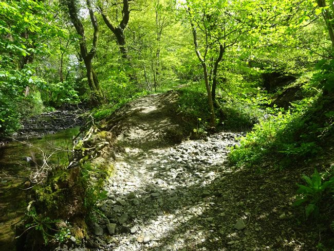
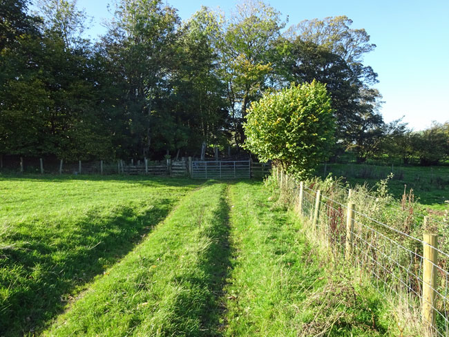
(34) You need to cross the beck at this point but there are enough stepping stones to cross without getting wet feet. Turn left on the far bank where there is a path following the beck (upstream). Further on the path then starts to head off to the right through pleasant woodland. There are a few diverging paths but keep to the obvious main path.
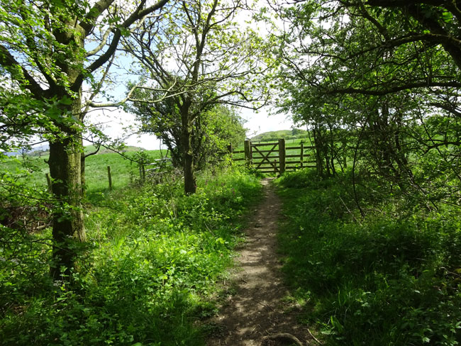
(35) After about ten minutes a gate is reached leading through into open meadow. Traverse the fields ahead keeping to the left hand boundary and passing through a number of gates. If you look up to the ridge on your left you can see your earlier path through the fields of sheep.
(36) Ten minutes further on you will emerge onto rougher pasture with Slate Fell rising above on the right. There is no longer a field boundary on the left. Just follow the obvious path ahead through a gate and towards an area of bracken. After the bracken the path is sometimes difficult to see. If so then head towards the right hand side of the telegraph pole and then diagonally towards a gate into the road ahead.
(37) Turn right onto the road. Almost immediately you will see another gate downhill to the right. Go through here and follow the path downhill towards the A66 you can hear ahead.
(38) The path can be a little overgrown at times and those wearing shorts should take care through the gorse sections!
(39) After a few minutes the path emerges onto the A66. There is a wide track opposite on the other side of the A66. Take care crossing and proceed up this track
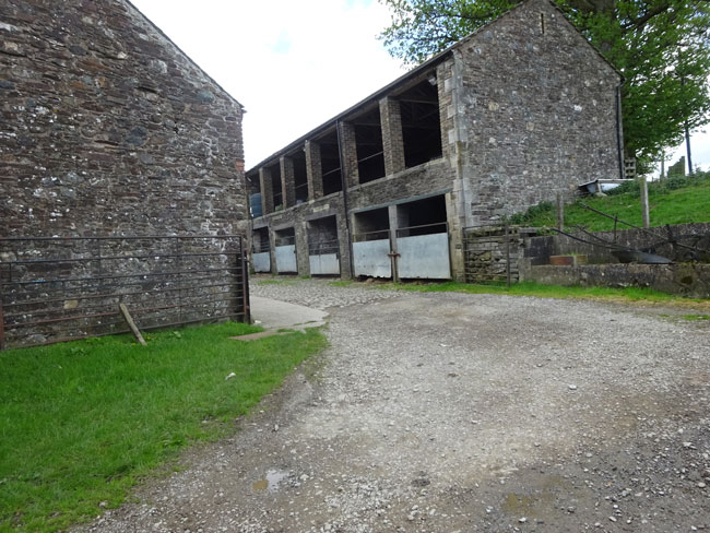
(40) The track shortly reaches a farm and continues through the middle of it. Follow it through the middle of these barns and at the end of the farmyard the track continues round to the right past the farm cottages
(41) The track continues through farmland and after 10 minutes reaches a road. Turn left onto the road and continue uphill, after a few hundred metres there is a road to the left. Ignore this and continue straight ahead. After about 10 minutes walking St Cuthberts church will be reached. Opposite the church there is a small lane marked Highside & Beckhouse. Turn right into this lane.
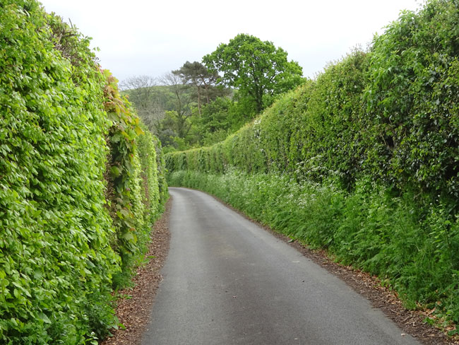
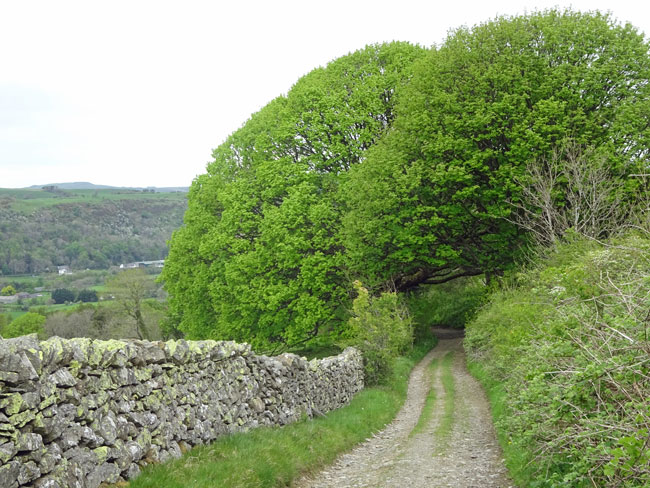
(42) The lane initially passes through very high hedges. Keep on the lane ignoring various turnings off.
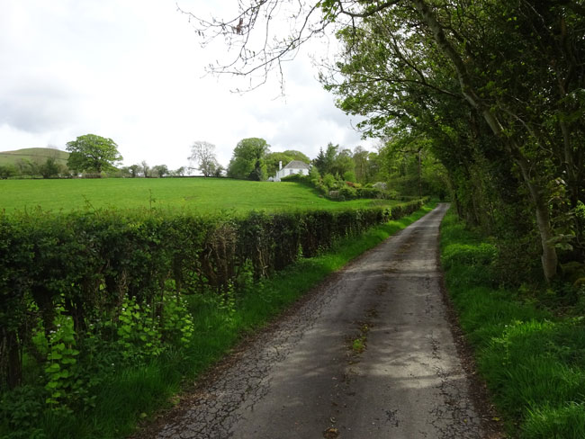
(43) After passing several houses the lane starts to climb and the tarmac starts to deteriorate. You are now starting to climb the lower slopes of Ling Fell.
(44) After reaching Highside Farm pass just to the left of the barn ahead before reaching a T-junction. Turn left here onto Green Lonning.
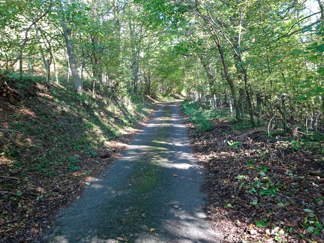
(45) Lonnings are ancient medieval lanes, usually between a farm and a village and usually relatively short. The majority of lonnings in Cumbria have been "upgraded" over the last 150 years to tracks and roads. However significant numbers still exist with several found close to Wythop Mill. There is a steep climb up the lonning at the start. However the climb doesn't last long and you are very soon walking on the level.

(46) As you continue along the lonning good views of Ling Fell to the right, and the Embleton area to the left can be seen.
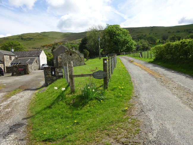
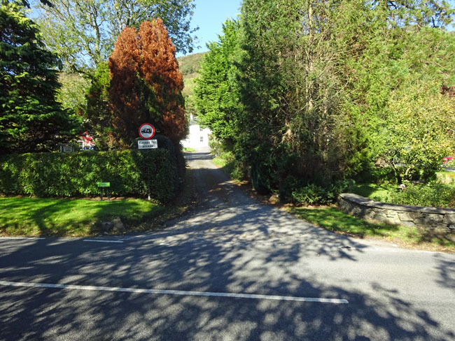
(47) After a while the lonning starts to drop down towards Wythop Mill and eventually joins a road. Turn right along the road and proceed downhill into Wythop Mill.
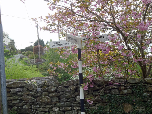
(48) At the crossroads in Wythop Mill follow the road to Bassenthwaite which will take you back to Riggs Cottage
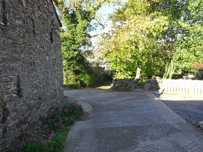
(50) If you have any energy left then St Margarets Church on the right built in 1866 is worth a visit. On reaching the Riggs track turn left and return to the cottage.